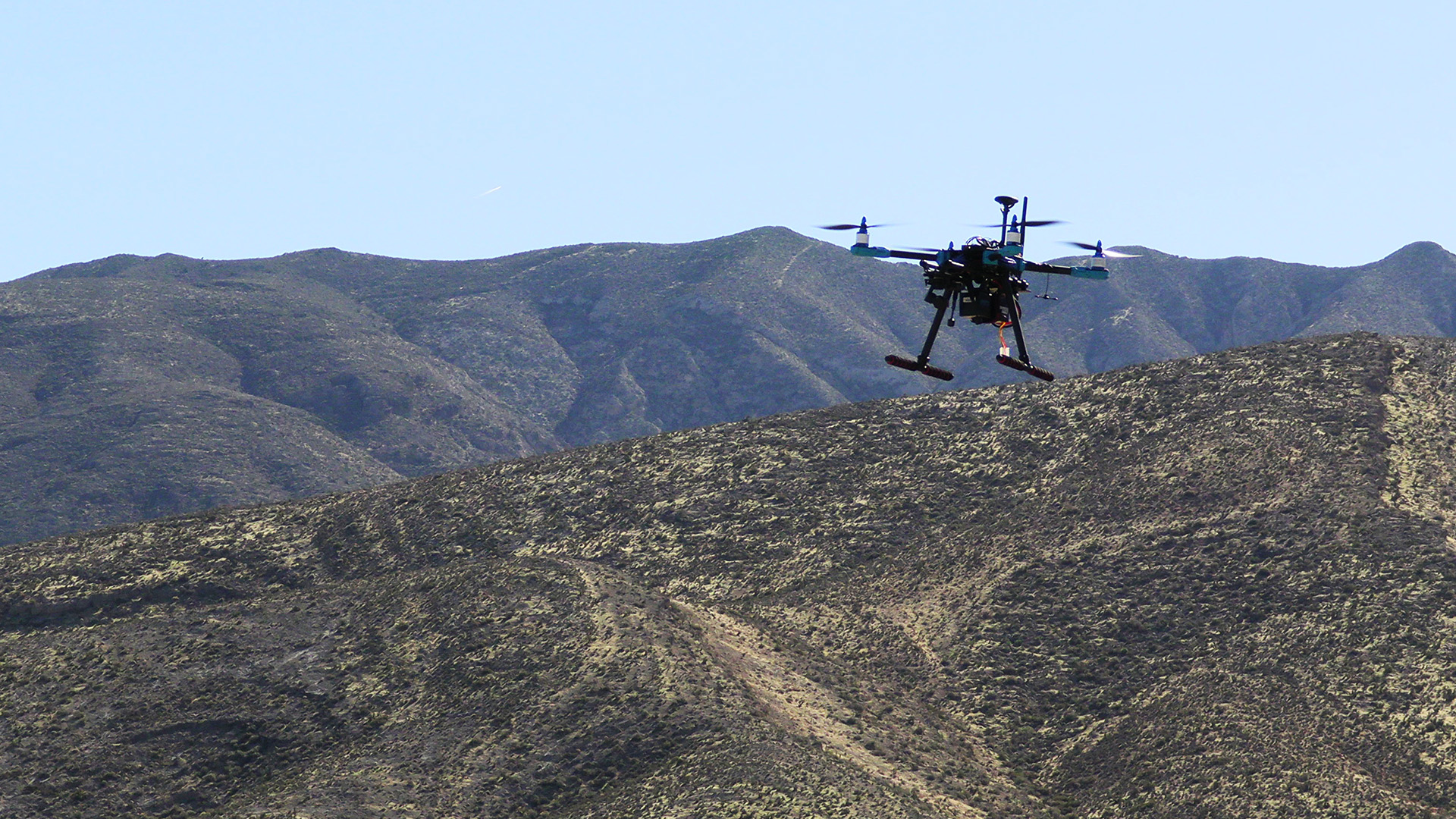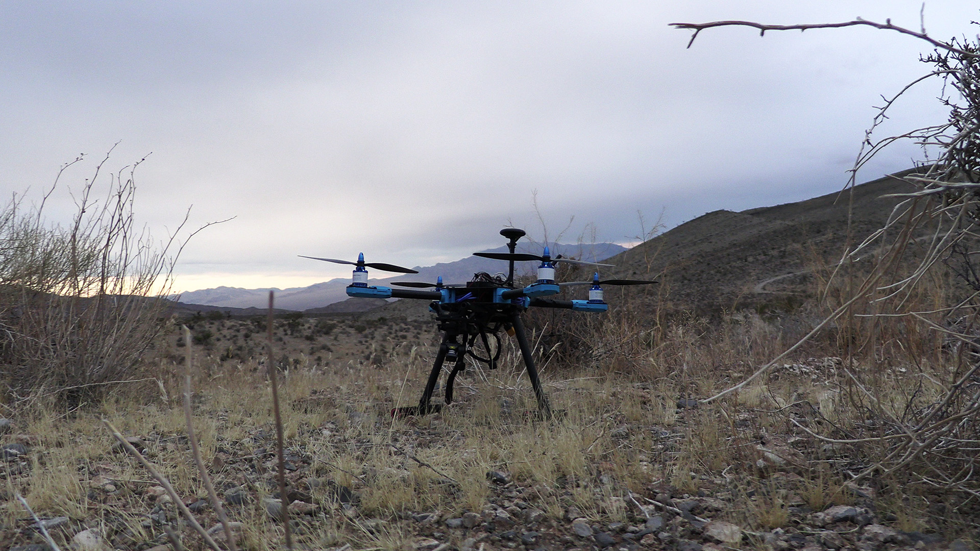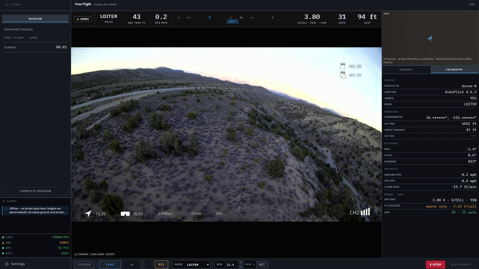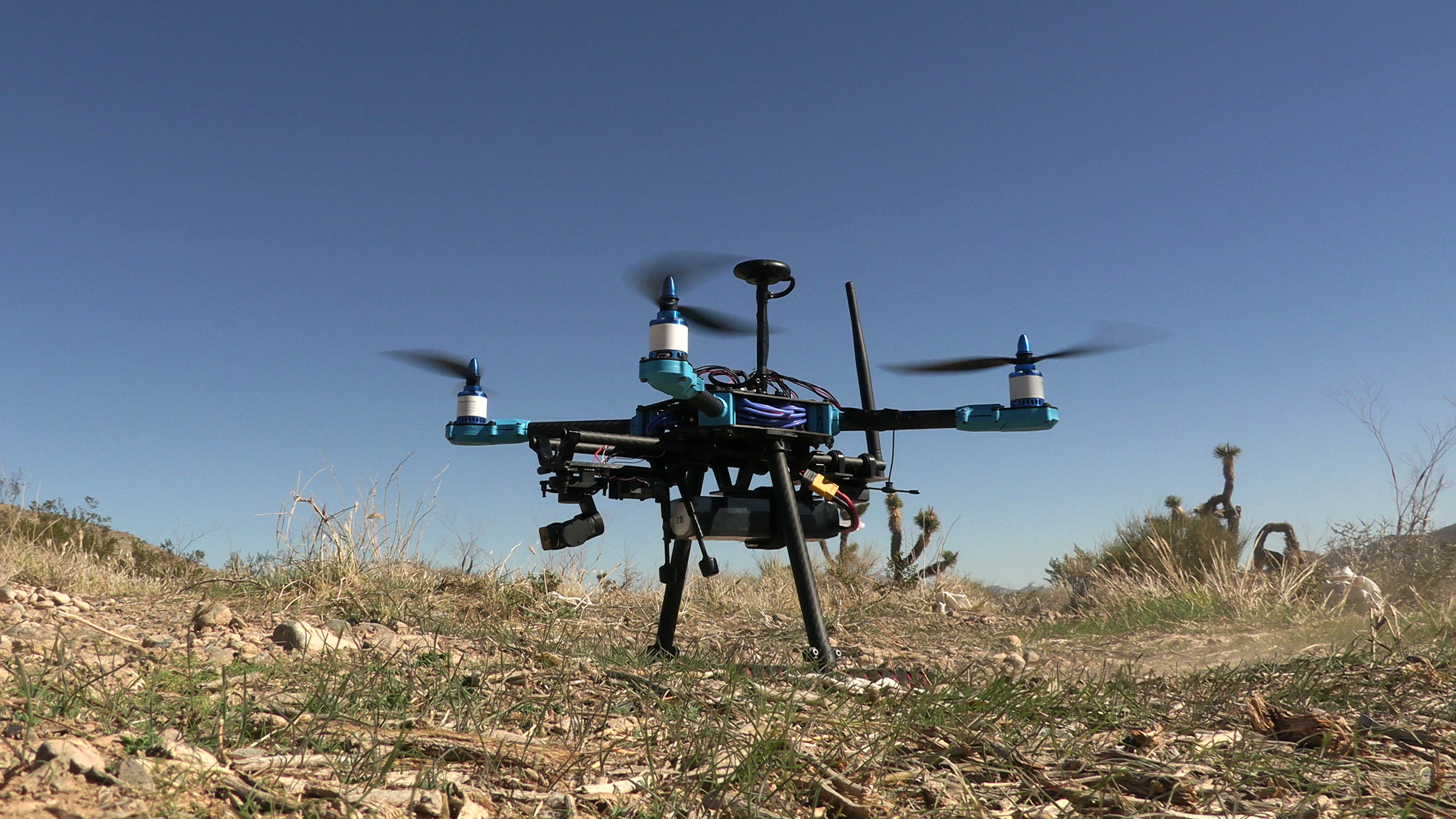
A drone ground control station, usually shortened to GCS, is the software you use on the ground to work with an aircraft’s autopilot. It gives you a place to see flight information, change supported settings, send commands and, depending on the application, plan or review a flight.
The name sounds a little grand for a laptop on a folding table. For many pilots, though, that’s where the ground station lives. It might also run on a tablet. People sometimes use “ground station” to mean the whole setup: computer, display, telemetry radio, antennas and all.
If you’re used to a drone with its own controller and app, much of this will feel familiar. With an ArduPilot aircraft, the pieces are often easier to see separately. There’s a transmitter in your hands, a laptop beside you and a small radio plugged into it. They’re all part of the same flight, which can leave you wondering which bit is actually doing what.
Once those jobs are clear, the rest of the setup starts to make a lot more sense.
Which part is flying the aircraft?
The flight controller goes with the drone. It’s the onboard computer running the autopilot software, using sensor information to control the aircraft. The ground station lets you see what that system is reporting and ask it to do things. Our longer guide to flight controllers, autopilots and ground control stations follows those connections in more detail.
Take a waypoint mission. A ground station with planning tools can help you draw the route and send it to the aircraft. Once a supported mission is loaded and started, the autopilot onboard carries out the instructions. Your laptop doesn’t have to work out every motor adjustment along the way.
The radio transmitter has its own job. In a typical setup, the sticks and switches send your inputs through a receiver on the aircraft. Some ground stations also accept joystick inputs, so there can be overlap. ArduPilot documents operation through a ground station, with the controls and setup depending on the vehicle.
Here’s a useful way to keep the pieces straight:
| Part | Main role |
|---|---|
| Flight controller and autopilot | Use onboard sensors and control logic to fly the aircraft |
| Ground control station | Present flight information and provide setup, planning, command or review tools |
| Radio transmitter and receiver | Carry the pilot’s stick and switch inputs in a typical RC setup |
That also helps when you’re looking at the screen. A mode label tells you what the aircraft has reported. A button gives you a way to request a change. Pressing the button is one step; seeing the aircraft respond is another. A useful ground station helps you follow both.
Getting information back and forth
The computer needs a way to talk to the aircraft. On a workbench, that might be a USB cable. For a flight, it could be a pair of telemetry radios, with one at the computer and the other connected to the flight controller. Some setups use Wi-Fi or other network links.
In many ArduPilot setups, the messages travelling over that connection use MAVLink. It’s a protocol: a set of message formats and procedures that lets the software exchange information. You don’t need to learn those messages to read a battery level, but it helps to know where they fit.
The aircraft sends back things such as position, attitude, battery readings and flight mode. The ground station can request information, change supported settings or send commands. Mission transfers and command responses travel over the connection too. It’s a conversation in both directions.
Our drone telemetry guide explains how to read those reports and recognize when they stop updating.
MAVLink doesn’t specify one particular radio, and supporting it doesn’t make every aircraft and ground station interchangeable. The connection carries the messages; the software on each end still needs to understand them and support what you’re trying to do.
Before, during and after the flight
Before a flight, a ground station can help with vehicle settings and calibration. If it has mission-planning tools, you can place waypoints, assign actions and review a proposed route. The exact options depend on the application, aircraft and firmware. Two programs can both be ground stations and offer quite different tools.
Once the aircraft is flying, your attention shifts. You want to know where it is, how it’s moving and whether the readings make sense. Position, altitude, speed, battery information and status messages all contribute. Controls may let you request a mode change or another supported action, and the display should make it clear whether that request was accepted or refused.
There are quieter questions too. Is the information still arriving? Is that reading current? It’s easy to focus on the big map and overlook the small bit of text explaining why something has changed.
After landing, recorded data gives you a chance to look again without trying to remember every number you saw. A ground station may save telemetry and offer replay or analysis tools. The autopilot can also record logs onboard. ArduPilot’s introduction to logs explains the difference between these sources. A telemetry log recorded on the ground can have gaps in aircraft data when the link is interrupted. Our guide to drone flight logs explains what each record can tell you.
You don’t have to use one application for every part of the job. Mission Planner includes vehicle setup, mission planning and log analysis. QGroundControl brings setup, planning and flight views together too. Both show how much the category can cover; what works with your particular aircraft still needs checking.
A plan on the laptop, a mission in the aircraft
Picture a short flight around an open field. You place three waypoints on the map, adjust the route and save it. A line joins the points. It looks ready to go.
What you’ve saved so far is a plan on the laptop. The aircraft may not have that plan yet. QGroundControl’s Plan View documentation separates saving a plan to a file from uploading it to the vehicle. They’re separate steps, even when they happen only a few clicks apart.
Suppose the upload succeeds. The aircraft has the mission, but it still needs to be started under the appropriate conditions. Once that happens, the onboard autopilot follows the mission instructions and the ground station displays the reports coming back.
Now the aircraft marker is approaching the second waypoint. That’s useful, but there’s more to the picture. The reported mode, altitude and speed help you understand how the flight is progressing. Our earlier article on why drone pilots need more than a dot on a map walks through that idea with a hypothetical flight toward rising ground.
Back on the laptop, imagine moving the third waypoint while reviewing the route. A line changing on your screen doesn’t establish that the aircraft’s stored mission has changed too. That depends on whether the update has been transferred and accepted.
This is one of the everyday details good software needs to make obvious: which plan you’re looking at, whether the aircraft has it and whether it’s being flown. A neat line on a map can leave a surprising amount unsaid.
Does it need the internet?
The connection to the aircraft and the connection to the internet can be separate. A telemetry radio can carry aircraft messages directly between the drone and computer without using the internet.
The ground station may still use online services for maps, terrain, accounts, updates or other features. QGroundControl, for example, offers offline map downloads. So being connected to the aircraft doesn’t, by itself, tell you whether the map data and other services you need are available offline.
It helps to give each connection its own name when you’re talking about a problem. Losing internet access, losing GCS telemetry and losing the RC link are different things. Some systems carry several of those functions over shared hardware, which is another reason to understand your own setup.
The aircraft’s response to a lost ground station connection also depends on its configuration. ArduCopter’s GCS failsafe documentation describes responses that vary with settings and flight mode. A frozen map marker alone can’t tell you what the aircraft is doing. It might be the last position the ground station received.
That’s worth understanding before the flight, along with how the software shows readings that are no longer current. You want to know what an interruption means without having to untangle the whole setup at that moment.
What we’re working on
We’re building Markhor around the person trying to make sense of the flight. The current workspace brings aircraft controls, live telemetry and a 3D terrain view together. Our first published development update describes some of the testing and interface work behind it.
For us, a lot comes back to fairly ordinary questions. Did the command do what I expected? Are the readings still coming in? Where is the aircraft in relation to the ground? We’d like the person at the screen to spend less effort finding those answers.
The broader direction is search and field operations. Mission planning and the complete search workflow remain planned; the tools described throughout this article explain the wider GCS category. Markhor is in active development and is not yet available outside Lechuza.
Whatever ground station you use, getting familiar with those separate roles is a good place to start. The autopilot handles the aircraft onboard. The ground station gives you a way to understand what it’s doing, ask for changes and follow what happens next.